Hopp til hovedinnholdet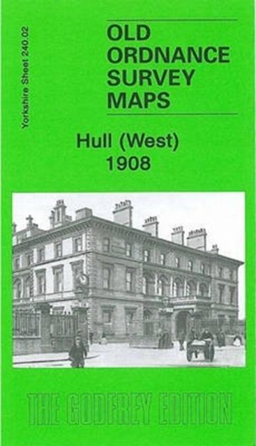
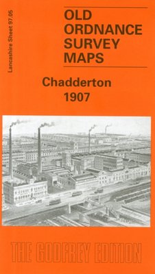
Hull (West) 1908
Av Alan Godfrey, 2006.Del av serien Old Ordnance Survey Maps of Yorkshire.
Kart, falsetEngelsk
Normalpris: 119,-
107,-
Spar 12,-
Ved å fullføre kjøpet aksepterer jeg kjøpsvilkårene.
Ikke tilgjengelig for Klikk&Hent
På nettlager. Forsinket leveringstid.
Oppdag mer
Hull (West) 1908
Av Alan Godfrey, 2006.Del av serien Old Ordnance Survey Maps of Yorkshire.
Oppdag mer
Normalpris: 119,-
107,-
Spar 12,-
Kart, falsetEngelsk
Ved å fullføre kjøpet aksepterer jeg kjøpsvilkårene.
Ikke tilgjengelig for Klikk&Hent
På nettlager. Forsinket leveringstid.
107,-
Ved å fullføre kjøpet aksepterer du kjøpsvilkårene.