Hopp til hovedinnholdet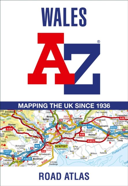
Wales A-Z Road Atlas
Av A-Z Maps, 2023.
Full-colour road atlas of Wales, with extended coverage into England and including all the major routes into the country. The detailed road mapping also includes Liverpool, Warrington, Nantwich, Shrewsbury, Hereford, Bristol and Severn River Crossings.Published at a clear 2.5 miles to 1 inch the following features are shown on the road mapping:Motorways open with full junction detail, motorways under construction and proposed, motorway service areas, primary routes and destinations, A and B roads, selected minor roads, gradients 1:5 and steeper, tolls, mileages, national and county boundaries, spot heights and hill shadingSelected places of interest, tourist information centres and golf coursesNational Park boundaries for Snowdonia, Brecon Beacons and Pembrokeshire CoastAlso included are 21 city, town, airport, or port plans for; Aberystwyth; Bangor; Cardiff; Caernarfon; Carmarthen; Chester; Colwyn Bay; Hereford; Llandudno; Llanelli; Merthyr Tydfil; Newport; Prestatyn; Rhyl Shrewsbury; Swansea; Wrexham; Cardiff International Airport; Holyhead Port; and Pembroke Dock.Two separate indexes provide extensive coverage of cities, towns, hamlets, and places of interest within Wales. Corresponding map symbols alongside each entry make for easy identification.
PocketEngelsk
139,-
Ved å fullføre kjøpet aksepterer jeg kjøpsvilkårene.
Ikke tilgjengelig for Klikk&Hent
På nettlager. Bestilles fra England. Leveres normalt innen 5-8 virkedager.
Wales A-Z Road Atlas
Av A-Z Maps, 2023.
Full-colour road atlas of Wales, with extended coverage into England and including all the major routes into the country. The detailed road mapping also includes Liverpool, Warrington, Nantwich, Shrewsbury, Hereford, Bristol and Severn River Crossings.Published at a clear 2.5 miles to 1 inch the following features are shown on the road mapping:Motorways open with full junction detail, motorways under construction and proposed, motorway service areas, primary routes and destinations, A and B roads, selected minor roads, gradients 1:5 and steeper, tolls, mileages, national and county boundaries, spot heights and hill shadingSelected places of interest, tourist information centres and golf coursesNational Park boundaries for Snowdonia, Brecon Beacons and Pembrokeshire CoastAlso included are 21 city, town, airport, or port plans for; Aberystwyth; Bangor; Cardiff; Caernarfon; Carmarthen; Chester; Colwyn Bay; Hereford; Llandudno; Llanelli; Merthyr Tydfil; Newport; Prestatyn; Rhyl Shrewsbury; Swansea; Wrexham; Cardiff International Airport; Holyhead Port; and Pembroke Dock.Two separate indexes provide extensive coverage of cities, towns, hamlets, and places of interest within Wales. Corresponding map symbols alongside each entry make for easy identification.
139,-
PocketEngelsk
Ved å fullføre kjøpet aksepterer jeg kjøpsvilkårene.
Ikke tilgjengelig for Klikk&Hent
På nettlager. Bestilles fra England. Leveres normalt innen 5-8 virkedager.
139,-
Ved å fullføre kjøpet aksepterer du kjøpsvilkårene.


