Hopp til hovedinnholdet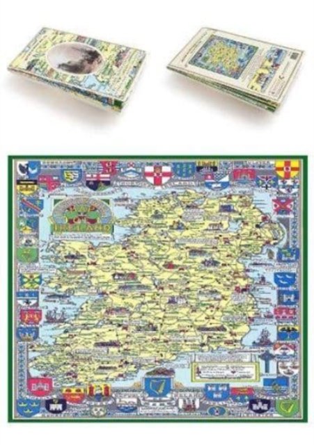
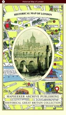
Historical Map of Ireland
Utgitt 2019.Del av serien Historical Great Britain Collection.
PocketEngelsk
Normalpris: 299,-
269,-
Spar 30,-
Ved å fullføre kjøpet aksepterer jeg kjøpsvilkårene.
Ikke tilgjengelig for Klikk&Hent
På nettlager. Bestilles fra England. Leveres normalt innen 5-8 virkedager.
Oppdag mer
Normalpris: 299,-
269,-
Spar 30,-
PocketEngelsk
Ved å fullføre kjøpet aksepterer jeg kjøpsvilkårene.
Ikke tilgjengelig for Klikk&Hent
På nettlager. Bestilles fra England. Leveres normalt innen 5-8 virkedager.
269,-
Ved å fullføre kjøpet aksepterer du kjøpsvilkårene.