Hopp til hovedinnholdet
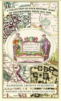
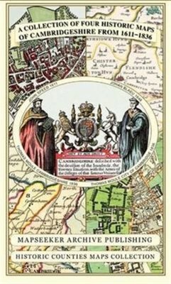
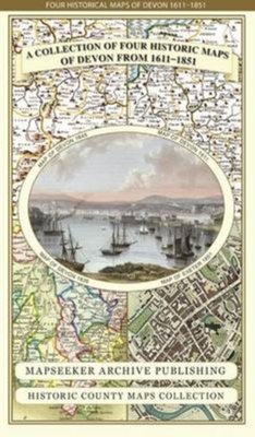
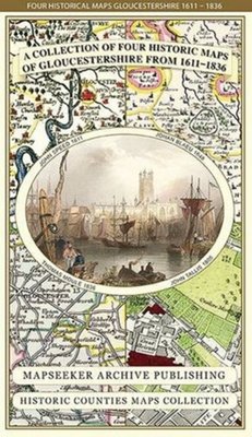
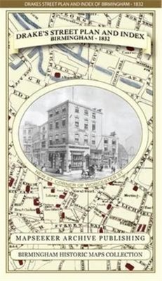
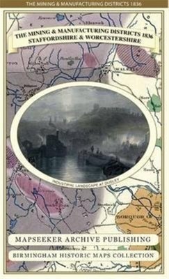
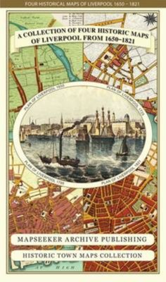
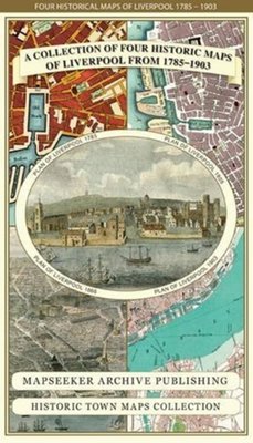
A Middlesex 1611 – 1836 – Fold Up Map that features a collection of Four Historic Maps, John Speed’s County Map 1611, Johan Blaeu’s County Map of 1648, Thomas Moules County Map of 1836 and a Map of the Environs of London 1836.
Av Mapseeker Publishing Ltd., 2019.Del av serien Historic Counties Maps Collection.
PocketEngelsk
Normalpris: 299,-
269,-
Spar 30,-
Ved å fullføre kjøpet aksepterer jeg kjøpsvilkårene.
Ikke tilgjengelig for Klikk&Hent
På nettlager. Bestilles fra England. Leveres normalt innen 5-8 virkedager.
Oppdag mer
A Middlesex 1611 – 1836 – Fold Up Map that features a collection of Four Historic Maps, John Speed’s County Map 1611, Johan Blaeu’s County Map of 1648, Thomas Moules County Map of 1836 and a Map of the Environs of London 1836.
Av Mapseeker Publishing Ltd., 2019.Del av serien Historic Counties Maps Collection.
Oppdag mer
Normalpris: 299,-
269,-
Spar 30,-
PocketEngelsk
Ved å fullføre kjøpet aksepterer jeg kjøpsvilkårene.
Ikke tilgjengelig for Klikk&Hent
På nettlager. Bestilles fra England. Leveres normalt innen 5-8 virkedager.
269,-
Ved å fullføre kjøpet aksepterer du kjøpsvilkårene.