Hopp til hovedinnholdet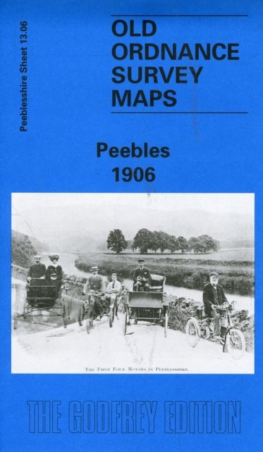
Peebles 1906
Av Barbara Morris, 1996.Del av serien Old O.S. Maps of Peeblesshire.
Kart, falsetEngelsk
Normalpris: 99,-
89,-
Spar 10,-
Ved å fullføre kjøpet aksepterer jeg kjøpsvilkårene.
Ikke tilgjengelig for Klikk&Hent
På nettlager. Bestilles fra England. Leveres normalt innen 5-8 virkedager.
Oppdag mer
Normalpris: 99,-
89,-
Spar 10,-
Kart, falsetEngelsk
Ved å fullføre kjøpet aksepterer jeg kjøpsvilkårene.
Ikke tilgjengelig for Klikk&Hent
På nettlager. Bestilles fra England. Leveres normalt innen 5-8 virkedager.
89,-
Ved å fullføre kjøpet aksepterer du kjøpsvilkårene.