Hopp til hovedinnholdet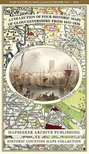
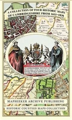
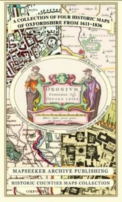
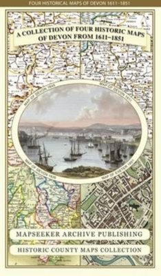
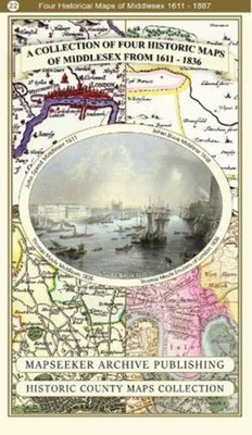
Gloucestershire 1611 - 1836 - Fold Up Map that features a collection of Four Historic Maps, John Speed's County Map 1611, Johan Blaeu's County Map of 1648, Thomas Moules County Map of 1836 and a Plan of Gloucester 1805 by Cole and Roper. The maps also feature three historic views of Gloucester from the 1840's.
Av Mapseeker Publishing Ltd., 2014.Del av serien Historic Counties Maps Collection.
Kart, falsetEngelsk
Normalpris: 359,-
323,-
Spar 36,-
Ved å fullføre kjøpet aksepterer jeg kjøpsvilkårene.
Ikke tilgjengelig for Klikk&Hent
På nettlager. Bestilles fra England. Leveres normalt innen 5-8 virkedager.
Oppdag mer
Gloucestershire 1611 - 1836 - Fold Up Map that features a collection of Four Historic Maps, John Speed's County Map 1611, Johan Blaeu's County Map of 1648, Thomas Moules County Map of 1836 and a Plan of Gloucester 1805 by Cole and Roper. The maps also feature three historic views of Gloucester from the 1840's.
Av Mapseeker Publishing Ltd., 2014.Del av serien Historic Counties Maps Collection.
Oppdag mer
Normalpris: 359,-
323,-
Spar 36,-
Kart, falsetEngelsk
Ved å fullføre kjøpet aksepterer jeg kjøpsvilkårene.
Ikke tilgjengelig for Klikk&Hent
På nettlager. Bestilles fra England. Leveres normalt innen 5-8 virkedager.
323,-
Ved å fullføre kjøpet aksepterer du kjøpsvilkårene.