Hopp til hovedinnholdet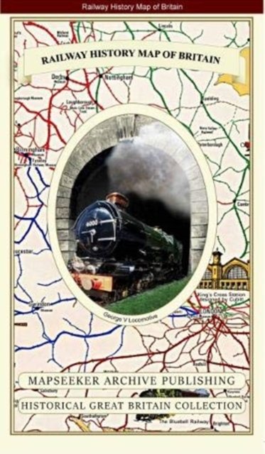
Railway History Map of Britain
Utgitt 2019.
PocketEngelsk
Normalpris: 299,-
269,-
Spar 30,-
Ikke tilgjengelig for Klikk&Hent
Utsolgt på nettlager
Oppdag mer
Normalpris: 299,-
269,-
Spar 30,-
PocketEngelsk
Ikke tilgjengelig for Klikk&Hent
Utsolgt på nettlager