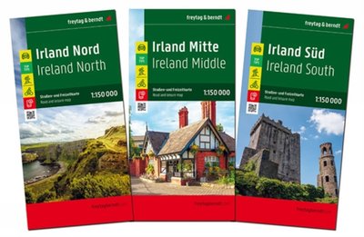
Eifel - Mosel - Hunsruck - Westerwald, street and Leisuremap
Av Freytag-Berndt, 2024.
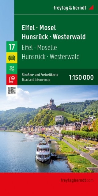
With the Eifel - Mosel - Hunsruck - Westerwald road map on a scale of 1:150,000, holidaymakers traveling by car, motorbike or caravan can easily find their way around. The dense road network is depicted precisely, distances and tourist destinations are shown on the map. Information about the Eifel - Mosel - Hunsruck - Westerwald car map Scale 1:150,000 Tourist information Campsites and pitches Digital Ortsregister Format: 136 x 95 cm The ideal car map Drivers and motorcyclists particularly appreciate the precise cartography from freytag & berndt for planning and on-site orientation. Caravan drivers and campers will of course find all campsites and pitches on the map. Digital location register The location register with postal codes can be accessed online and downloaded as a PDF. This map is sheet 17 of the 17-part Germany 1:150,000 map series. Printed in Austria.
Ved å fullføre kjøpet aksepterer jeg kjøpsvilkårene.
Ikke tilgjengelig for Klikk&Hent
På nettlager. Bestilles fra England. Leveres normalt innen 5-8 virkedager.
Oppdag mer
Eifel - Mosel - Hunsruck - Westerwald, street and Leisuremap
Av Freytag-Berndt, 2024.
With the Eifel - Mosel - Hunsruck - Westerwald road map on a scale of 1:150,000, holidaymakers traveling by car, motorbike or caravan can easily find their way around. The dense road network is depicted precisely, distances and tourist destinations are shown on the map. Information about the Eifel - Mosel - Hunsruck - Westerwald car map Scale 1:150,000 Tourist information Campsites and pitches Digital Ortsregister Format: 136 x 95 cm The ideal car map Drivers and motorcyclists particularly appreciate the precise cartography from freytag & berndt for planning and on-site orientation. Caravan drivers and campers will of course find all campsites and pitches on the map. Digital location register The location register with postal codes can be accessed online and downloaded as a PDF. This map is sheet 17 of the 17-part Germany 1:150,000 map series. Printed in Austria.
Oppdag mer
Ved å fullføre kjøpet aksepterer jeg kjøpsvilkårene.
Ikke tilgjengelig for Klikk&Hent
På nettlager. Bestilles fra England. Leveres normalt innen 5-8 virkedager.
Ved å fullføre kjøpet aksepterer du kjøpsvilkårene.