
Hopp til hovedinnholdet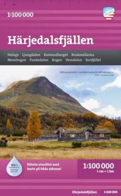
Harjedalsfjallen
Utgitt 2023.Del av serien Calazo fjällkartor.
For a long time, mountain maps on a scale of 1:100,000 were the standard for the entire mountain chain, and our maps have the same appearance and content as the traditional mountain maps previously produced by the Land Survey. The map covers large areas of the mountains and gives you a good overview of the mountain massif etc. We usually recommend maps on a scale of 1:100,000 to those who are going to make longer trips or cover larger areas with snowmobiles. If you want more details in the maps, we recommend our mountain maps at a scale of 1:50,000. This map covers large parts of the southern mountain world from Härjedalsfjällen in the north to Sälenfjällen in the south. You get a good overview of Funäsdalen, Rogen and Grövelsjön, but also Lofsdalen and Idre are on the map, and of course obvious things like Fulufjället, Stöten, Tandådalen and Lindvallen. We have come to the conclusion that the best material for a map is Tyvek®. It is made of a synthetic fiber that makes the map completely insensitive to water and very tear-resistant. A Tyvek map will not tear in the folds or lose color when you use it.
Kart, falsetSvensk
199,-
Ved å fullføre kjøpet aksepterer jeg kjøpsvilkårene.
Tilgjengelig i 1 butikk
På nettlager. Sendes innen 1-2 virkedager.
Harjedalsfjallen
Utgitt 2023.Del av serien Calazo fjällkartor.
For a long time, mountain maps on a scale of 1:100,000 were the standard for the entire mountain chain, and our maps have the same appearance and content as the traditional mountain maps previously produced by the Land Survey. The map covers large areas of the mountains and gives you a good overview of the mountain massif etc. We usually recommend maps on a scale of 1:100,000 to those who are going to make longer trips or cover larger areas with snowmobiles. If you want more details in the maps, we recommend our mountain maps at a scale of 1:50,000. This map covers large parts of the southern mountain world from Härjedalsfjällen in the north to Sälenfjällen in the south. You get a good overview of Funäsdalen, Rogen and Grövelsjön, but also Lofsdalen and Idre are on the map, and of course obvious things like Fulufjället, Stöten, Tandådalen and Lindvallen. We have come to the conclusion that the best material for a map is Tyvek®. It is made of a synthetic fiber that makes the map completely insensitive to water and very tear-resistant. A Tyvek map will not tear in the folds or lose color when you use it.
199,-
Kart, falsetSvensk
Ved å fullføre kjøpet aksepterer jeg kjøpsvilkårene.
Tilgjengelig i 1 butikk
På nettlager. Sendes innen 1-2 virkedager.
199,-
Ved å fullføre kjøpet aksepterer du kjøpsvilkårene.


