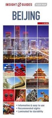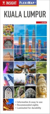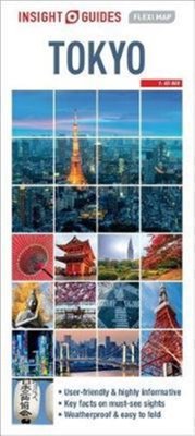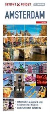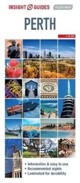
Insight Guides Flexi Map Perth
Av Insight Guides, 2017.Del av serien Insight Guides Flexi Maps.
Insight Guides Flexi Map Perth:
This easy to use, full-colour, water-proof map is all you need to navigate Perth. It also includes handy destination detail on Perth environs and Fremantle and tips on top attractions and getting around.
· Combines clear, up-to-date cartography with destination detail, stylish design and stunning photography
· The main map is at a scale of 1:14000, with prominent public buildings, hotels and other places of interest highlighted in the extensive index, including Stirling Gardens and Wave Rock
· Secondary maps cover Perth environs and Fremantle
· But it's also much more than a map! - includes tips on top attractions, galleries, museums, heritage sites, travelling further afield, and getting around
· Laminated finish is tough, waterproof and can be written on with a non-permanent marker pen - just write and wipe as required
About Insight Guides: Insight Guides is a pioneer of full-colour guide books, with almost 50 years' experience of publishing high-quality, visual travel guides with user-friendly, modern design. We produce around 400 full-colour print guide books and maps, as well as phrase books, picture-packed eBooks and apps to meet different travellers' needs. Insight Guides' unique combination of beautiful travel photography and focus on history and culture create a unique visual reference and planning tool to inspire your next adventure.
Tilgjengelig i 1 butikk
Utsolgt på nettlager
Oppdag mer
Insight Guides Flexi Map Perth
Av Insight Guides, 2017.Del av serien Insight Guides Flexi Maps.
Insight Guides Flexi Map Perth:
This easy to use, full-colour, water-proof map is all you need to navigate Perth. It also includes handy destination detail on Perth environs and Fremantle and tips on top attractions and getting around.
· Combines clear, up-to-date cartography with destination detail, stylish design and stunning photography
· The main map is at a scale of 1:14000, with prominent public buildings, hotels and other places of interest highlighted in the extensive index, including Stirling Gardens and Wave Rock
· Secondary maps cover Perth environs and Fremantle
· But it's also much more than a map! - includes tips on top attractions, galleries, museums, heritage sites, travelling further afield, and getting around
· Laminated finish is tough, waterproof and can be written on with a non-permanent marker pen - just write and wipe as required
About Insight Guides: Insight Guides is a pioneer of full-colour guide books, with almost 50 years' experience of publishing high-quality, visual travel guides with user-friendly, modern design. We produce around 400 full-colour print guide books and maps, as well as phrase books, picture-packed eBooks and apps to meet different travellers' needs. Insight Guides' unique combination of beautiful travel photography and focus on history and culture create a unique visual reference and planning tool to inspire your next adventure.
Oppdag mer
Tilgjengelig i 1 butikk
Utsolgt på nettlager
Ved å fullføre kjøpet aksepterer du kjøpsvilkårene.