Southampton A-Z Pocket Street Map
Av A-Z Maps, 2021.
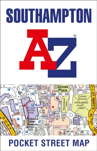
This up-to-date detailed A-Z street map includes more than 2,000 streets in and around Southampton. As well as Ocean Village and Southampton Common, the other areas covered include Woolston, Itchen, Shirley, Bitterne, Portswood, Bassett and North Stoneham.The large-scale street map includes the following:• Places of interest• Postcode districts, one-way streets and car parks• Index to streets, places of interest, place and area names, park and ride sites, national rail stations, hospitals and hospicesThe perfect reference map for finding your way around Southampton.
Ikke tilgjengelig for Klikk&Hent
Utsolgt på nettlager
Southampton A-Z Pocket Street Map
Av A-Z Maps, 2021.
This up-to-date detailed A-Z street map includes more than 2,000 streets in and around Southampton. As well as Ocean Village and Southampton Common, the other areas covered include Woolston, Itchen, Shirley, Bitterne, Portswood, Bassett and North Stoneham.The large-scale street map includes the following:• Places of interest• Postcode districts, one-way streets and car parks• Index to streets, places of interest, place and area names, park and ride sites, national rail stations, hospitals and hospicesThe perfect reference map for finding your way around Southampton.
Ikke tilgjengelig for Klikk&Hent
Utsolgt på nettlager