Hopp til hovedinnholdet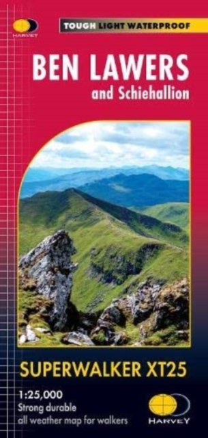
Ben Lawers
Utgitt 2022.Del av serien Superwalker XT25.
& Schiehallion
The map includes Ben Lawers, Schiehallion and the Tarmachan Ridge. Detailed map for hillwalkers at the popular 1:25,000 scale showing the hills between Loch Tay and Loch Rannoch. Landscape and wildlife information from the National Trust for Scotland Includes 16 Munros and 6 Corbetts. Tough, light, durable and 100% waterproof Genuine, original, HARVEY mapping Opens directly to either side of the sheet Easy to re-fold
Kart, falsetEngelsk
229,-
Ikke tilgjengelig for Klikk&Hent
Midlertidig tomt på lager
Bestillingsvare. Forventes sendt om ca 5 dager
Ben Lawers
Utgitt 2022.Del av serien Superwalker XT25.
& Schiehallion
The map includes Ben Lawers, Schiehallion and the Tarmachan Ridge. Detailed map for hillwalkers at the popular 1:25,000 scale showing the hills between Loch Tay and Loch Rannoch. Landscape and wildlife information from the National Trust for Scotland Includes 16 Munros and 6 Corbetts. Tough, light, durable and 100% waterproof Genuine, original, HARVEY mapping Opens directly to either side of the sheet Easy to re-fold
229,-
Kart, falsetEngelsk
Ikke tilgjengelig for Klikk&Hent
Midlertidig tomt på lager
Bestillingsvare. Forventes sendt om ca 5 dager
229,-
Ved å fullføre kjøpet aksepterer du kjøpsvilkårene.